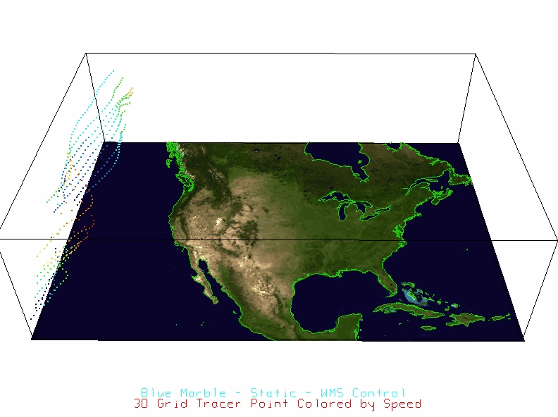
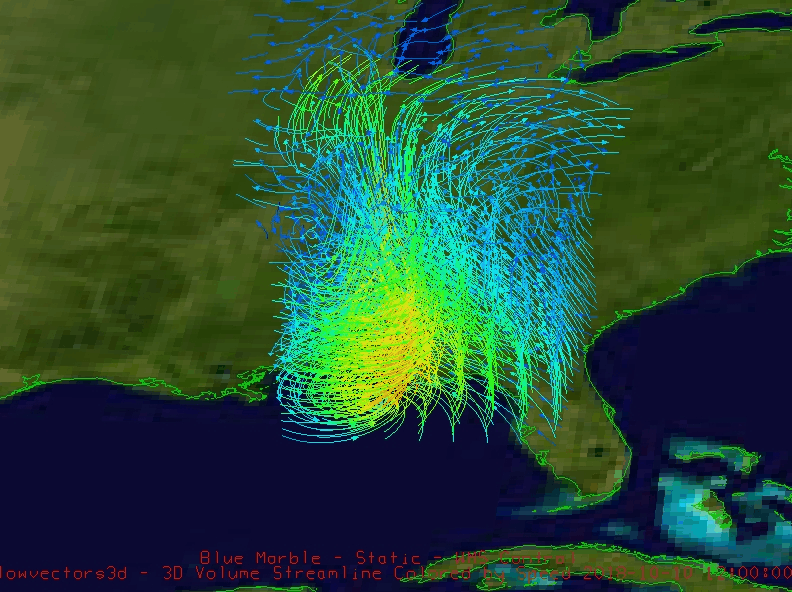
Unidata’s Integrated Data Viewer (IDV) is a freely available 3D geoscience
visualization and analysis tool that gives users the ability to view and analyze
a
rich set of geoscience data in an integrated fashion. The IDV brings together the
ability to display and analyze satellite imagery, gridded data (such as numerical
weather prediction model output), surface observations (METARs), upper air
soundings, NWS NEXRAD Level II and Level III RADAR data, and GIS data, all within
a unified interface. The IDV integrates tightly with common scientific data
servers (including Unidata’s TDS) to provide easy access to many real-time and
archive datasets. It also provides collaborative features that enable users to
easily share their own data holdings and analysis products with others.
IDV is available on Windows, Macintosh, and Linux platforms, and features:
- 2- and 3-D data displays
- Interactive probes for dataset exploration
- Parameter readouts
- Vertical profiles
- Time/height displays
- A rich set of analysis capabilities
- Interactive and script based generation of image, movie, PDF and KML/KMZ products
- Bundling mechanism for saving state
- Client/server data access
- Easy configuration through a plugin facility